
Map Watershed Scale Patterns of Current In-stream Wood Recruitment

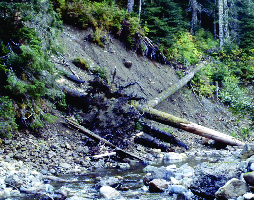
The importance of large wood in streams and rivers for aquatic habitats has been gaining increasing recognition in the last few decades. Large wood in streams requires large streamside trees.

Wood is recruited to streams by tree mortality, bank erosion and landslides (and debris flows). Typically, the amount of wood in streams is measured and mapped at the stream reach scale (~100 meters). But now with new NetMap technology, the potential for recruitment of wood can be assessed at the scale of entire watersheds.
Do you know how the wood recruitment potential varies across your watershed? If you did, it could aid in designing stream restoration and protection strategies.
The science of in-stream wood recruitment

NetMap contains a tool for estimating the current single year in-stream wood recruitment. Information on riparian forest stand characteristics is necessary. In Washington, Oregon and California, LEMMA data provides stand level information. Estimates of forest mortality (% yr-1) are required.
The model predicts wood recruitment using 5 diameter classes in pieces per 100 m.
Identify where to enhance protection of large wood recruitment
Identify where to plan in-stream wood placement restoration projects
Identify the best locations for riparian re-planting restoration
Current Annual In-Stream Wood Recruitment in the Nehalem River watershed, Coastal Oregon (salmon streams)
click to enlarge
click to enlarge

click to enlarge
Use NetMap’s wood recruitment potential maps along side fish habitat quality maps to identify where the best habitats overlap with the lowest in-stream wood potential to identify the highest priority sites to riparian restoration or placement of in-stream wood.
NetMap tools allow one to calculate on the fly the highest percentiles of different watershed or channel attributes and search for spatial overlaps.